

Category: Explore
Waharau for the Weekend
I’m not sure how it happened but somewhere along the line, (during one of our late night campground chats) Issy and I decided...
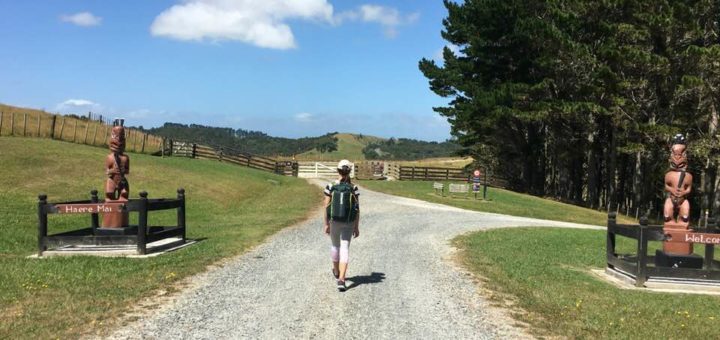
ADVENTURING AT ATIU CREEK REGIONAL PARK
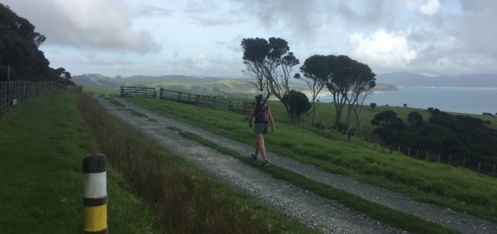
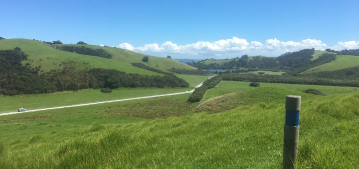
Atiu Creek has been on the “we must do that one day” list ever since we first starting camping in the Auckland Regional...
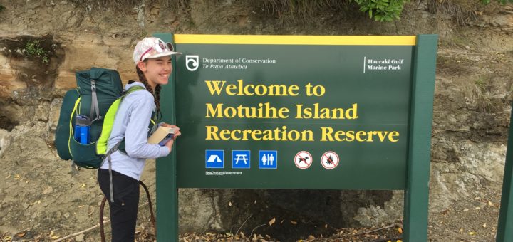
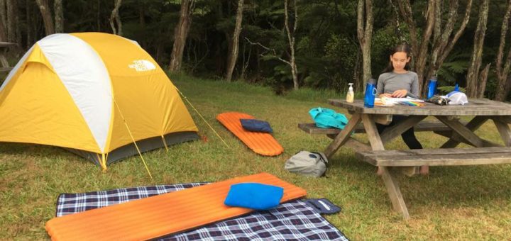
GIRLS NIGHT OUT ON MOTUIHE ISLAND
We haven’t managed to “get out there” anywhere near as much as we did during the early summer of last year. This is...
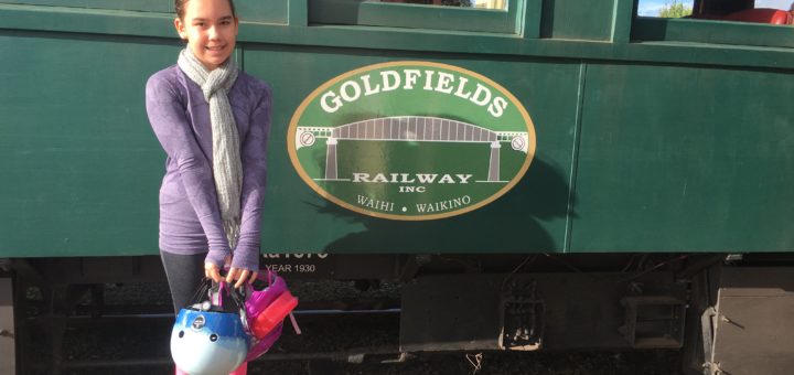
Goldfields Railway, Waihi
When Isabelle (10) and I (10+) went down to the Coromandel to cycle a section of the Hauraki Rail Trail we thought an...
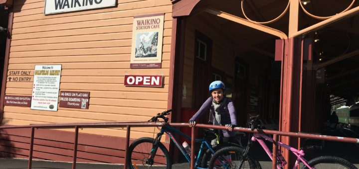
Hauraki Rail Trail – Waikino to Waihi (9km)
Isabelle (10) and I, (10+) headed down to the Coromandel to cycle another section of the Hauraki Rail Trail. We had previously ridden...
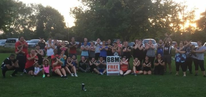
No Excuses – Buttabean Motivation
I chanced upon Buttabean Motivation, just over a month ago as I was mindlessly scrolling through my Newsfeed on Facebook (as you do)...
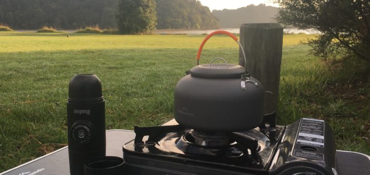
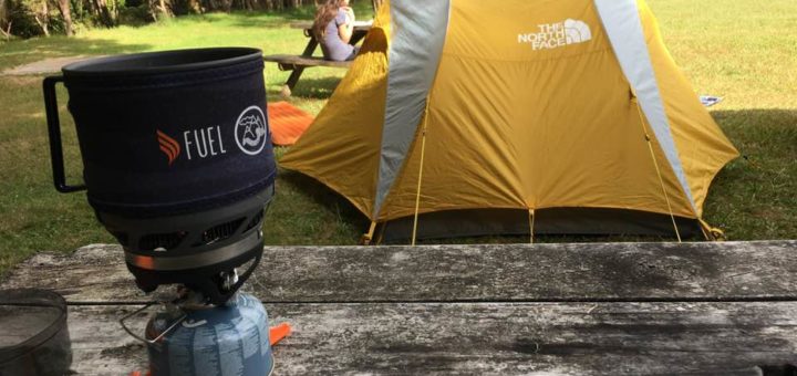
How to make good coffee while camping
Whenever our family went camping, James would miss sleeping in a bed, Isabelle would miss her Poppa and my baby, (Elias) would miss...
Ecology Trail – Tawharanui Regional Park
(Walking Track) The Ecology Trail highlights Tawharanui’s precious natural ecology and heritage taking in coastline, wetlands, pasture and native bush. This is a...
West End Trail – Tawharanui Regional Park
This multi-use walking and mountain biking track starts at Anchor Bay and heads for the western end of the park. The track passes...