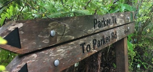
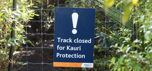
Zion Hill Track – Karekare Regional Park (Closed due to Kauri Die Back)
Tramping Track – A great track with a reasonably good surface. There are even a few seats and viewing areas to allow you to catch a breath. The track allows you to create a great day outing by linking with the Pohutukawa Glade Walk, Karekare Beach, Tunnel Point, with the Pararaha Valley, Buck Taylor and Zion Hill track back to the Karekare carpark. This is a great circuit offering a mix of landscapes including beach, wetlands, coastal forest and cliffs. 3.6km. (Source).

They day we traversed the Zion Hill Track was the first time that either James and I had visited the area and the first thing I noticed was how swanky the toilet block is! Yeah I know, it’s a very random thing to notice (and then tell you about) but they really are quite fancy pants!
After checking out the swanky toilet block (of which the oiled wood smell was divine) we headed to the information board to grab a map (fail – there were none), so I did the next best thing – I took a photo of the large map encased behind the glass and then set off. As we searched for the start of the track I thought to myself “gosh the hardest part about this, is finding the bloody thing” (FYI I was wrong). 😉
For those who are as geographically challenged as J and I – from the carpark head back the road, turn right, cross the bridge and turn right again (there is blue and orange sign), then follow the path for approximately three minutes. The Zion Hill Track is located on the left hand side just past a green building (which looked like toilet facilities, but I didn’t stop to check).

It should come as no surprise that a track called Zion Hill track, climbs a big arse hill, on this particular track you will climb approximately 100m every kilometer.
It starts out as a well maintained track with a set of stairs to help with the climb, but the track becomes more rugged as you go. On a positive note, there are a couple of viewing “platforms” on the way up, although only the first is official by the looks (as there is a seat) whereas the other just goes to a small clearing.
The section after the Zion Ridge Junction is by far the most rugged – it’s muddy and in places the descent is quite steep. You’ll also encounter a couple of small water crossings (although small enough to keep your feet dry) near the end of the track.
Speaking of such (the track end), the Zion Hill Track finishes at the junction of the Buck Taylor Track (which heads left to meet Lone Kauri Road, or right to the Pararaha Valley Track), from this point most people tend to head down to the Pararaha Valley Track and follow the Hillary Trail markers across the sand dunes back to the car park. On this particular day, James and I ran a loop Zion Hill, Zion Ridge, Buck Taylor, Zion Hill but next time we go we will definitely come back along beach front. Although I must say that the 300m descent on the way back down Zion Hill was perhaps my favorite part of the day (well apart from when that woman stopped dead in the middle and I smacked into a tree).

The other stuff;
Location – 2 Karekare Road, Huia (50km from the CBD)
Directions (from the CBD) – Head along the north-western motorway. Get off at Lincoln Road. At the end of Lincoln Road turn into Great North Road. At first set of lights turn right into Henderson Valley Road. At the roundabout take Forest Hill Road and drive to the end. Turn right into West Coast Road. At the end of West Coast Road turn right into Scenic Drive. Travel approximately 200m and take Piha Road at the junction. Karekare is signposted off Piha Road.
Parking? – Yes two on Karekare Road, the larger one with the swanky toilet block is the closest to the track.
Toilet Facilities? – Yes
Kid Friendly? – Hmmm, I personally wouldn’t take mine – they’d moan – A LOT.
Till next time


