Opanuku Pipeline Track – Cascade Kauri Regional Park (Partially closed due to Kauri Die Back)
The Opanuku Pipeline Track is a gravel driveway following the pipeline from Mountain Road to the Opanuku Stream picnic area (10 minutes). The track then climbs steeply along a clay track, and through a short tunnel just before Christian Road near the Waitakere Filter Station. 1.4km. (Source).
I parked at the Waitakere Filter Station and with the help of my topomap app made my way down the driveway to find the junction of the Swanson and Opanuku Pipeline Tracks which according to the map would be directly opposite each other.
I found the Swanson Pipeline Track on the right hand side of the driveway yet I could not for the life of me locate the Opanuku Pipeline Track. I did stumble across an unmarked track with a shoe cleaning station directly opposite which passed through a grove of Kauri trees and I thought this must be the Opanuku Track but I was still confused as it seemed to be heading in the wrong direction. When the track ended abruptly near where I’d parked the car I realised I was completely “lost” (which is not a new experience).
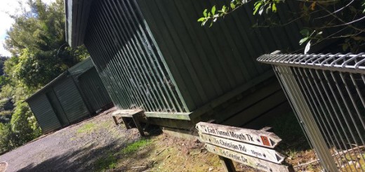
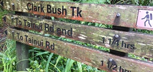
I decided to head towards the large Watercare complex and follow the driveway around to the left (as in theory that is where I should see the trailhead) and as I came to a clearing I saw the trail sign at the bottom of the hill to my left. It’s not the easiest thing to spot and unless you were actively looking for it, it would be easy to miss.

The tunnel mentioned above is less than a minute (downhill jog) away from the shoe cleaning station. The Opanuku Tunnel isn’t as long as the one I came across on the Swanson Pipeline Track (which I didn’t go through, but I’ll tell you about that in the appropriate blog post).
When I stood at the entrance of the tunnel, I could see the other end and since I’d already piked out of going through one tunnel earlier in my run I put my big girl pants on and went in. Even though I could see the other end, as soon as I was a few meters inside the darkness enveloped everything including the ground which turned out to be quite badly rutted (which I found out by “falling into a large hole”). Knowing my luck I’d probably sprain an ankle and be stuck in the tunnel forever, so I settled for shuffling forward with a purpose until I neared the end and could see the ground better.
Directly on the other side of the tunnel it’s a single track but it eventually widens out and becomes quite a beautiful piece of track to run along especially on a late summer afternoon when the ever present sections of Waitakere mud have dried out enough so that you do not to sink into it. This section of the trail is either flat or a slight downhill but the descent steepens quite dramatically as you head down towards the Opanuku Campground (located just on the other side of the bridge).

If it wasn’t for the sign (or prior knowledge) you probably wouldn’t realise you had reached a campground being that it’s just a clearing (albiet a relatively flat one, so I’d say an ideal place to erect a tent), a single toilet located near the trail and a small car parking area which is accessed from the locked gate on Mountain Road. (You are given a code when you book into the campground.)
Looking at the availability calendar on the ARC website it’s used more often than you would imagine and I gave a friendly wave to the young couple I came across as I ran through the campground to follow the driveway through to Mountain Road (where the trail ends).
The other stuff;
Location – Waitakere Filter Station (End of Christian Road, Swanson) or opposite 64 Mountain Road.
Parking? – Yes, large area on Christian Road and small area near the gate on Mountain Road.
Toilet Facilities? – Yes at campground and filter station.
Kid Friendly? – Yes and the tunnel would be a highlight.
Till next time


